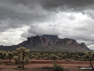
It was clear from the description that the cache was located on the top of a butte. Supposedly, you could drive within a quarter mile, but the mud was soft and I was concerned about ground clearance so I parked in a desert clearing and started to wander.
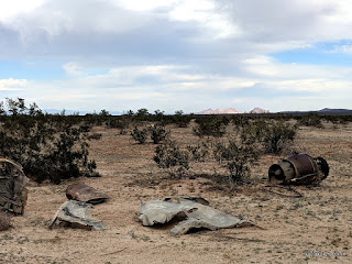
I tripped into an abandoned mine - actually, perhaps that should read "tripped upon" since I didn't fall in.
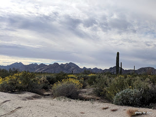
I wandered around this crazy saguaro for a bit, but gave up trying to count the arms or find the geocache that was supposed to be located nearby.
I'd spent some time with Google Earth, and decided to approach the middle layer from the southeast since there seemed to be a break at that point.
What I didn't realize until I got there was that the break was full of cholla. Picking a route through here was a bit of a challenge since I wanted to watch my feet to make sure I didn't pick up any cholla balls, but I needed to look up to make sure I could pick a path through without brushing up against them.
I was a bit dismayed when I got far enough up through the gully to see that the shoulder didn't go all the way to the top on this side like I'd hoped.
It was pretty clear that there wasn't a route I was interested in trying, at least from this side.
Continuing around, I could spot the road I came in on, and where I'd parked the truck. The GPS and the view suggested it wasn't all that far away.
I finally found the stairway to heaven that others had mentioned, and made it to the top of the butte. In addition to the geocache, I also found the summit register that four others had signed this year.
I survived the exploration and after seeing lots of healthy saguaro, decided to take a selfie with one that was on it's last legs.
According to the Fitbit, it was right at 4 miles, and 52 flights of stairs to make the round trip. Could have kept the Fitbit happy in a sterile gym, but this was lots more fun!
Hope you have a wonderful New Year, where ever you may go.


